Blog
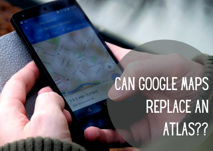
Can Google Maps Replace Your Atlas?
Using an Atlas may feel antiquated in this day and age of technology. Pulling out a large bulky book to trip plan versus your sleek smart phone might feel awkward, and you might be asking yourself, can Google Maps replace my Atlas?
We wanted to do a quick comparison of when to use Google Maps versus your Atlas.

Google Maps is great for:
When you are going to a new facility Google Maps Show you street view of the facility for a detailed view. This can help you:
- Find the best route to pull into the facility.
- See where the trailers are located.
The real magic happens when you go to street view. When you chose street view you can easily start to look at:
- Reading the address and ensure you have the correct facility.
- Or see what the neighboring facility looks like so you know if you went too far.
- What do the different entrances look like?
- Is there a sign posted stating if one entrance is a truck entrance or not?
- Is there a location for tractor parking?
What Google Can’t Show You:
- You run the risk that the maps are outdated. Look in the upper left hand corner to see if it lists when the Google Camera went through that area.
- Google Maps doesn’t identify if a road is a truck route. You could find yourself on a road that isn’t a truck route and risk a ticket.
Google Maps plus your Atlas work well together, but Google Maps can’t replace your Atlas. Still utilizing your Atlas for your initial trip planning is ideal. Then bring in Google Maps when looking for the details of a facility. Using both will help keep you safe on the road and help avoid accidents.

